
Need segment-level traffic data?
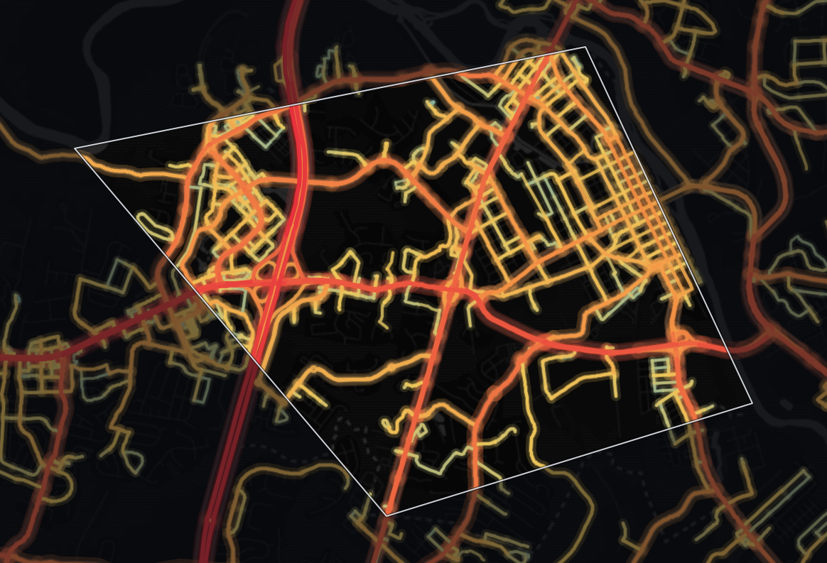
Identify traffic patterns street by street and analyze the exact corridors that matter to your project.
Traffic | vehicles per day10,693 |
|---|---|
Trucks | 8.2% |
Average travel time | 35.4 min |
Congestion ratio | 27.1% |
Drivers’ average age | 44.5 yrs |
Drivers’ average income | $113,246 |
A typical monitored road in Fredericksburg City, Virginia sees 10,693 vehicles per day, while its 59 miles of monitored roads together handle 873,241 vehicle-miles traveled per day (≈319 million per year). Trucks are 8.2% of traffic, close to the 9.6% across Virginia.
Fredericksburg sees 100% higher average daily traffic volume than the state average (10,693 vehicles per day against 5,349), suggesting more demand on each road - prime passing trade for storefronts, with more competition for road space. In total volume terms, its road network carries about 0.4% of Virginia's statewide total of vehicle-miles. Fredericksburg carries more traffic than 94% of counties in Virginia.
Journey times run 12% higher than the state level, at 35.4 minutes on average. 83% of counties in Virginia have a shorter average travel time than Fredericksburg's 35.4 minutes.
At 62% higher than the state level, the 27.1% congestion ratio signals more pronounced congestion - expect markedly slower peak-hour deliveries and unreliable arrival times.
| Traffic | vehicles per day33,802 |
|---|---|
| Trucks | 10.6% |
| Average travel time | 39.1 min |
| Congestion ratio | 62.5% |
| Drivers’ average age | 44.8 yrs |
| Drivers’ average income | $114,370 |
A little more than half of the driving in Fredericksburg City, Virginia happens on highways: 57% of all vehicle-miles. The average highway carries 33,802 vehicles per day, 318% more than the average non-highway road in the same area, which carries 8,077 vehicles per day.
Highways make up 25% of the monitored road miles (15 miles, 152 segments), so they carry more than their share: 496,464 vehicle-miles traveled per day (≈181 million per year).
At 10.6%, highway truck share is 19% lower than the state average. Highways here mostly serve passenger trips, so local access matters more than long-haul routing for logistics operators.
56% of counties in Virginia see a higher highway truck share than Fredericksburg's 10.6%. 80% of counties in Virginia see fewer highway trucks per day than Fredericksburg's roughly 3,586.
| Traffic | vehicles per day8,077 |
|---|---|
| Trucks | 5.0% |
| Average travel time | 34.9 min |
| Congestion ratio | 23.1% |
| Drivers’ average age | 44.2 yrs |
| Drivers’ average income | $112,085 |
A significant share of driving in Fredericksburg City, Virginia, 43% of vehicle-miles, happens on local roads. The average non-highway road carries 8,077 vehicles per day.
Local roads make up 75% of the monitored road miles (44 miles in 1,343 segments) but carry less than their share of travel: 376,777 vehicle-miles traveled per day (≈138 million per year). About 1 in 20 vehicles on non-highway roads is a truck (5.0%).
The concentration of trucks on non-highway roads is 53% lower than on highways.
The non-highway congestion ratio of 23.1% is 48% higher than the state level, suggesting slower local mobility than the state average.
Trip origins here have higher average income than 89% of counties in Virginia. Fredericksburg's median driver age is lower than 81% of counties in Virginia.


Mobile device location data (anonymized and aggregated)
Road sensor networks and traffic counters
Historical traffic pattern databases

Identify traffic patterns street by street and analyze the exact corridors that matter to your project.



